See also our CLINF 4-pager!
What is it all about?
Climate change affects the Arctic more than any other part of the world.
The permafrost is thawing.
Traditional livelihoods are threatened by environmental changes.
Old and new infectious diseases might be emerging.
CLINF objectives:
- To understand the impact of climate change on the distribution of infectious diseases in the North and thus on the socio-economic conditions, particularly for pastoralist communities.
- To turn this new understanding into practical tools for decision makers.
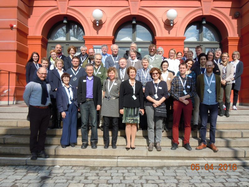
Who are we?
Interdisciplinary research team
|
|
|
|
|
|
|
|
|
|
Our starting point
The basic hypothesis:
The habitats of vector organisms for climate-sensitive infections (CSI) are expanding northwards.
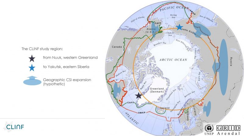
What did we do?
- Compile data on human and animal diseases, on climate and on landscape, from Nuuk to Yakutsk.
- Identify CSI in the North.
- Forecast the future geographic spread of CSI in the North.
- Understand the societal impact of CSI and needs for adaptation.
- Create the CLINF Geographic Information System for public access to all CLINF data.
What are our results?
Here we are presenting some of our results in the form of short science stories that are sorted under the following headlines:
- Putative climate-sensitive infections in humans and animals
- Seroprevalence of putative CSI in humans and reindeer
- Prevalence of ticks and tick-borne pathogens
- Climate models for forecasting future CSI geographies
- Environmental envelopes affecting the prevalence of CSI
- Future CSI geographies
- Impact of CSI on northern societies
- Adaptation strategies for pastoralists in the North
The CLINF Geographical Information System – CLINF GIS
We have compiled three types of openly available data, all covering the same 30 year climate reference period (1985-2016):
- Historical incidence data for more than 30 animal and human infectious diseases from national registers throughout the CLINF study region,
- Satellite data products for meteorological and hydrological variables (“weather”), and
- Satellite data products for landcover variables such as the density of chlorophyll (“greening”).
These data were standardized to fit the same spatial and temporal scale. Then we used the landscape and climate data to statistically explain changes in the geographical distribution of CSI.
These statistical models then also allow to forecast future geographies of CSI in the Arctic.
All data is freely available in the CLINF GIS Public Data Repository.
Here you access the entire presentation.